OK Boys and Girls, we have returned from our Recon mission to Mammoth to find a home for La Famila and we have great news") After a long hard day of fighting off bears and pissed off cows Kathy and I found an awesome campsite in the pines with room for more than 20 large rigs and easy access. There are no bumper dragging dips or any off-camber hilly crazy stuff to worry about.
After a long hard day of fighting off bears and pissed off cows Kathy and I found an awesome campsite in the pines with room for more than 20 large rigs and easy access. There are no bumper dragging dips or any off-camber hilly crazy stuff to worry about.
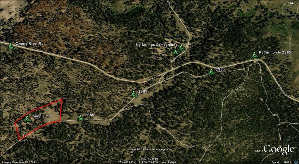
The area we found is about 3/4 miles southwest of Big Spring campground. So we will still be close to the river and have great access to the trails.
The new directions are as follows-----
1. From the 395 Turn East onto Owens River Rd
2. Go 2.4 miles and turn Right onto Forest Rd 2S85
3. Stay on 2S85 for 1 mile and you will see camp on your right.
Now that was easy!!
Notes.....
As your driving down Owens River Rd about 1.5 miles in, you will start to go down a small grade SLOW WAY DOWN cause Big Spring Rd will quickly come up on your left and then 1/2 mile after Big Spring Rd you will be turning Right onto 2S85.
The GPS for the intersection of Owens River Rd and 2S85 is....
37 44' 58.37 N
118 55' 55.96 W
And then the GPS for the campsite on the 2S85 is.....
37 44' 31.10 N
118 56' 53.47 W
Also if you need to fill up fresh water, just to the South of Owens River Rd on the 395 there is a Rest Stop that is very large and has 3 water fill-up points. 2 by the buildings on the northside of the lot and one on the southside of the lot.
Also I will place large Orange traffic cones at the intersection of Owens River Rd and Forest Rd 2S85 just so ya know your at the right place
One more quick note....
The right turn onto 2S85 is not a U turn but close. This won't be a problem for trailers and 5er's but a large MoHo with a trailer may take a back up or two. If you feel it is a bit tight of a turn for ya, you can continue down Owens River Rd for 1/2 mile and turn around at intersection head back to the West and pull straight in
Well here are a bunch of pics, and I know I am probably forgetting something but I know you guys will remind me. I'll post up the fuel info after dinner
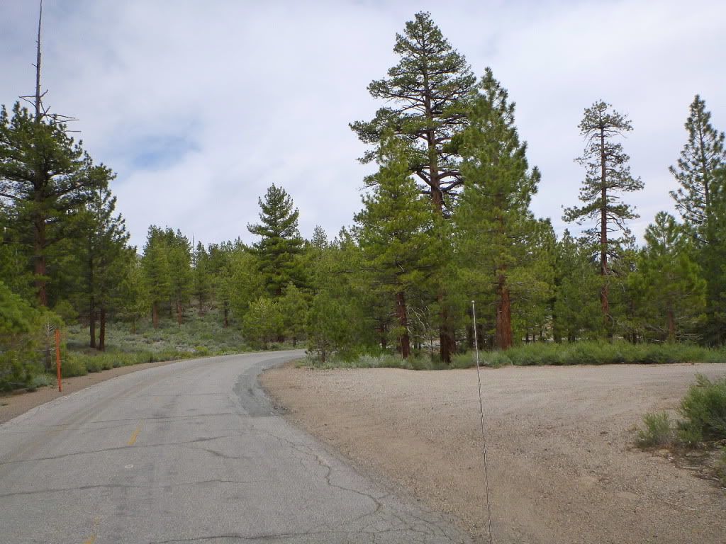
Comming up on 2S85 on right
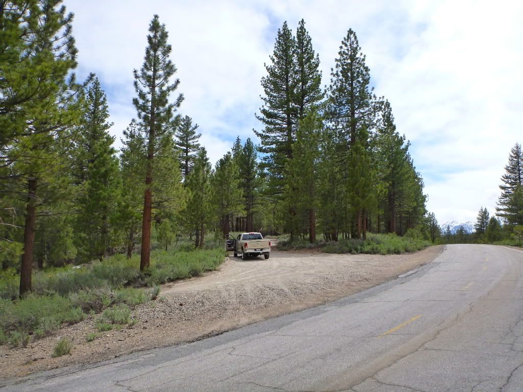
View of right turn onto 2S85
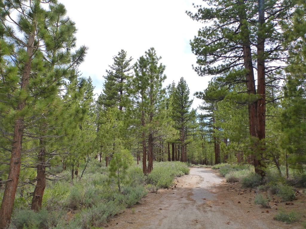
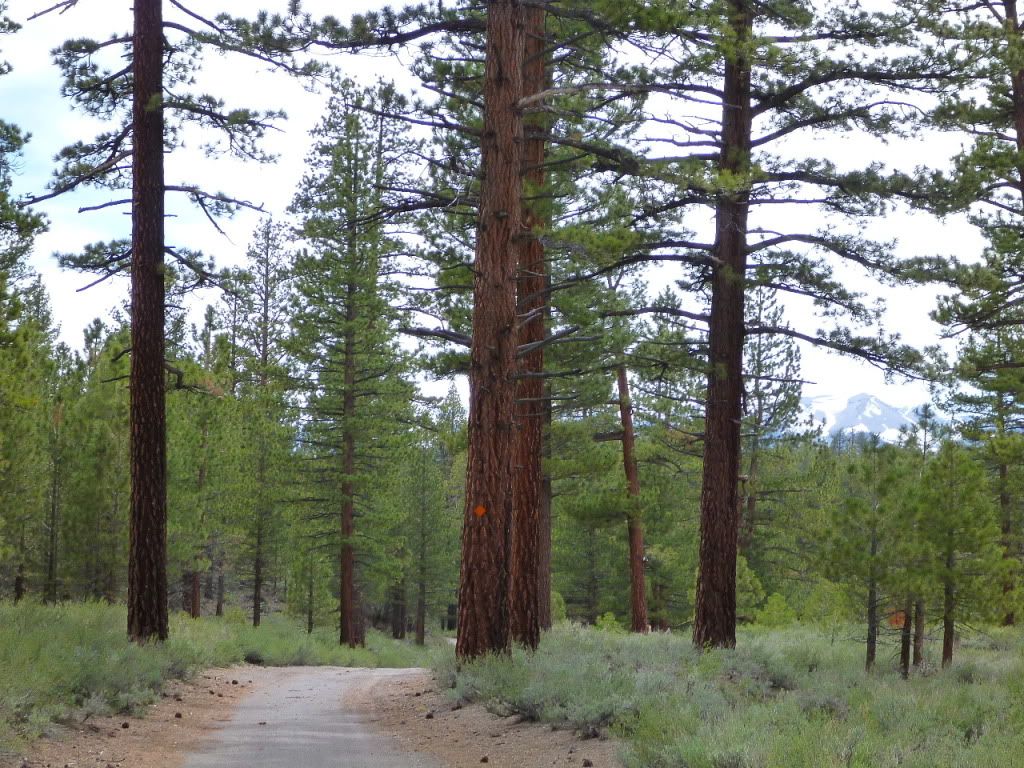
Head on down the road
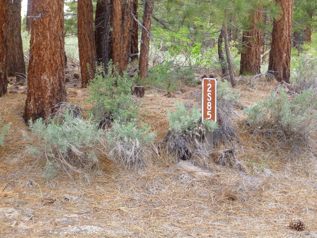
Stay straight on 2S85 (It is old asphalt most of the way)
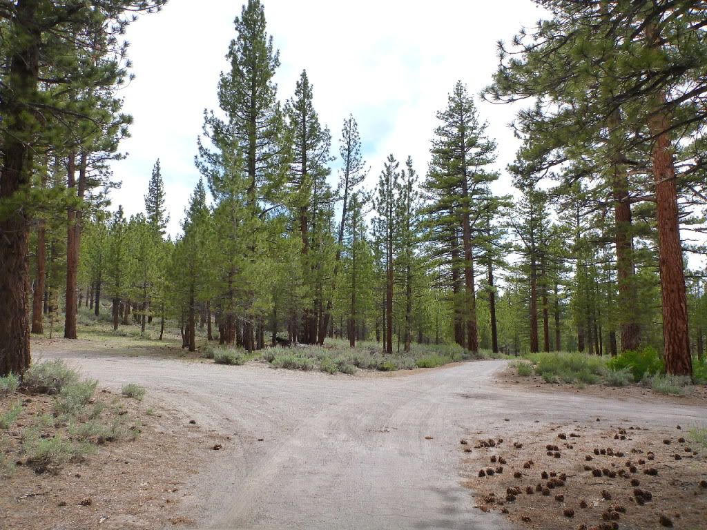
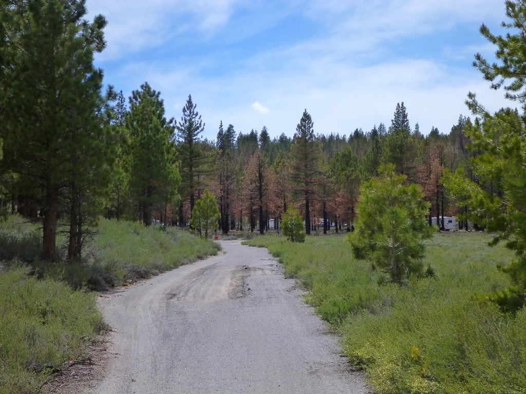
Keep going!
And going!
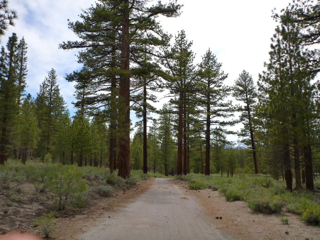
Getting closer!
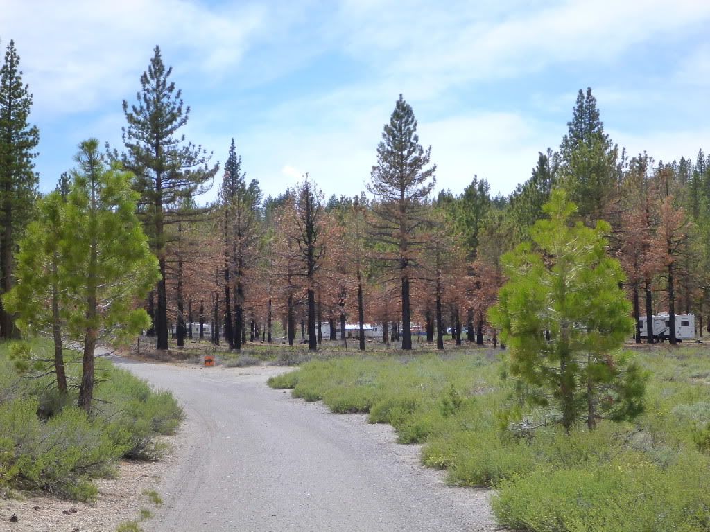
Almost!
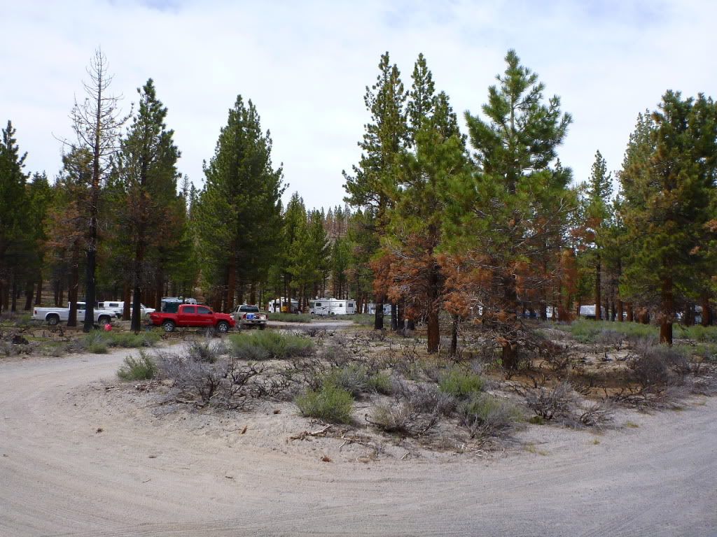
Finally
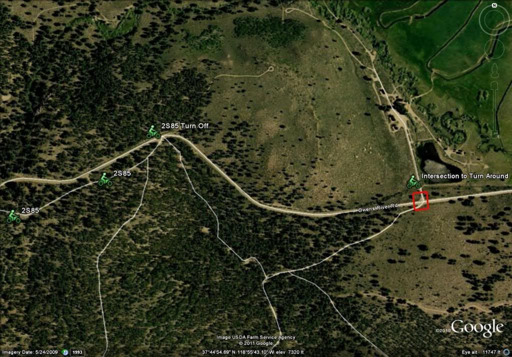
Here is a map overview of the area.
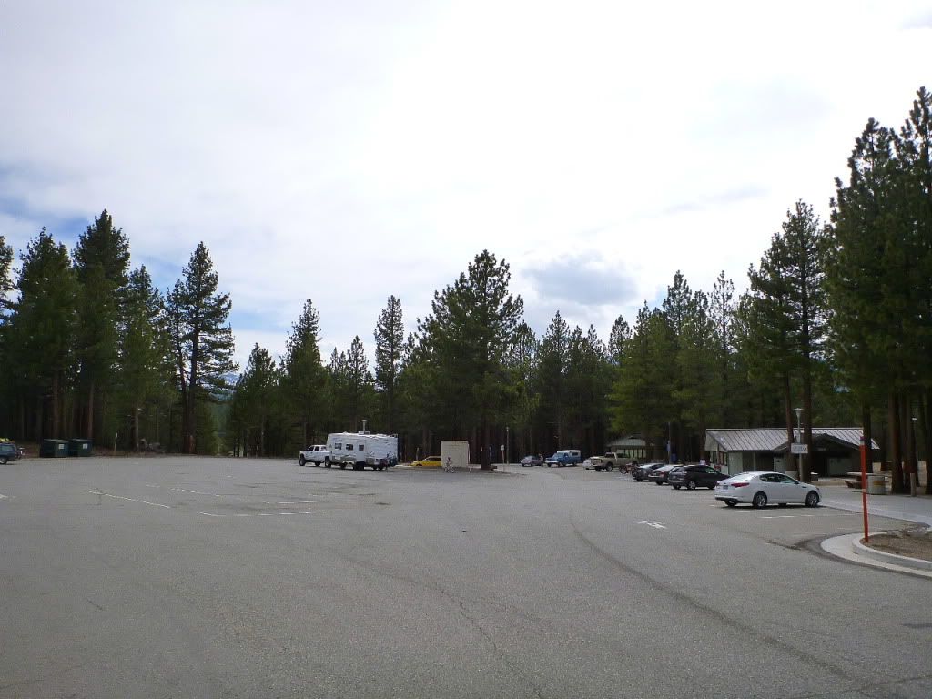
Rest Stop
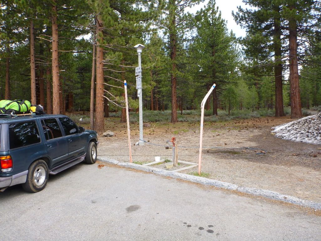
Water
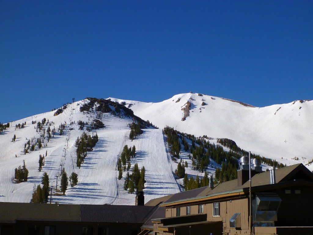
Bring your skis and snow boards, there is still 8' of snow
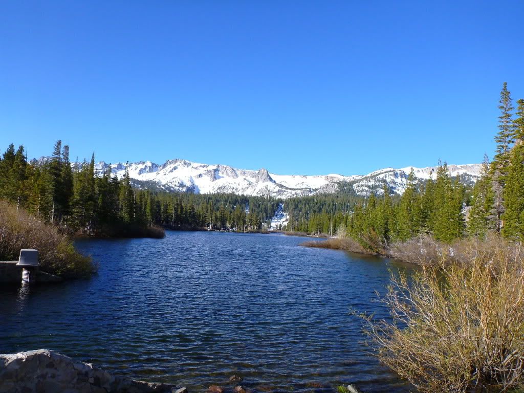
Twin Lakes is thawed out
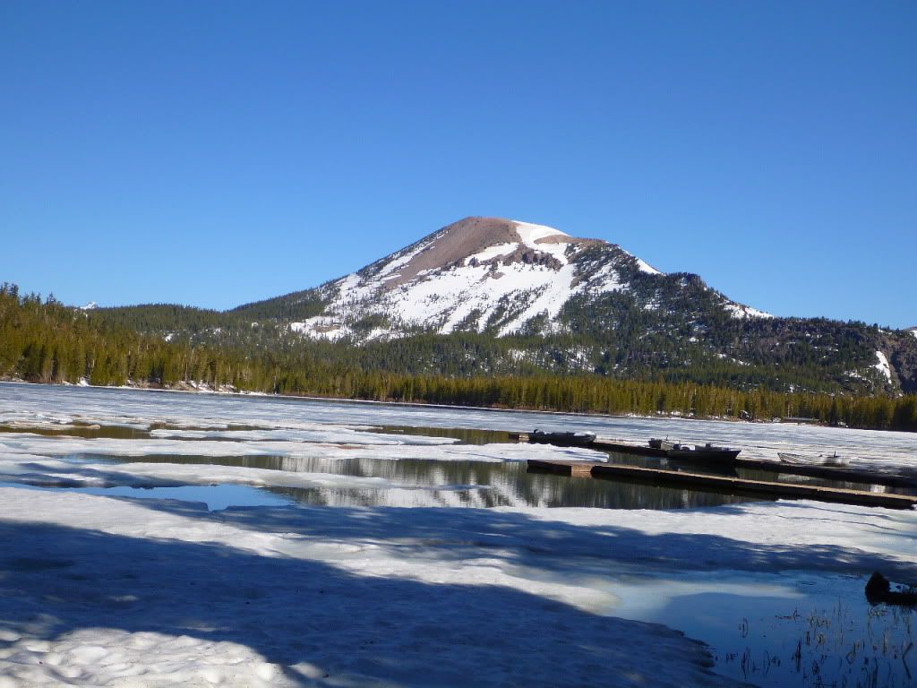
Lake Mary still has ice on it
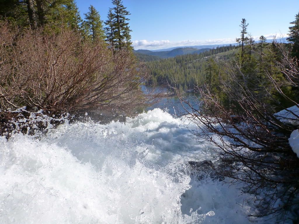
Waterfall above Twin Lakes
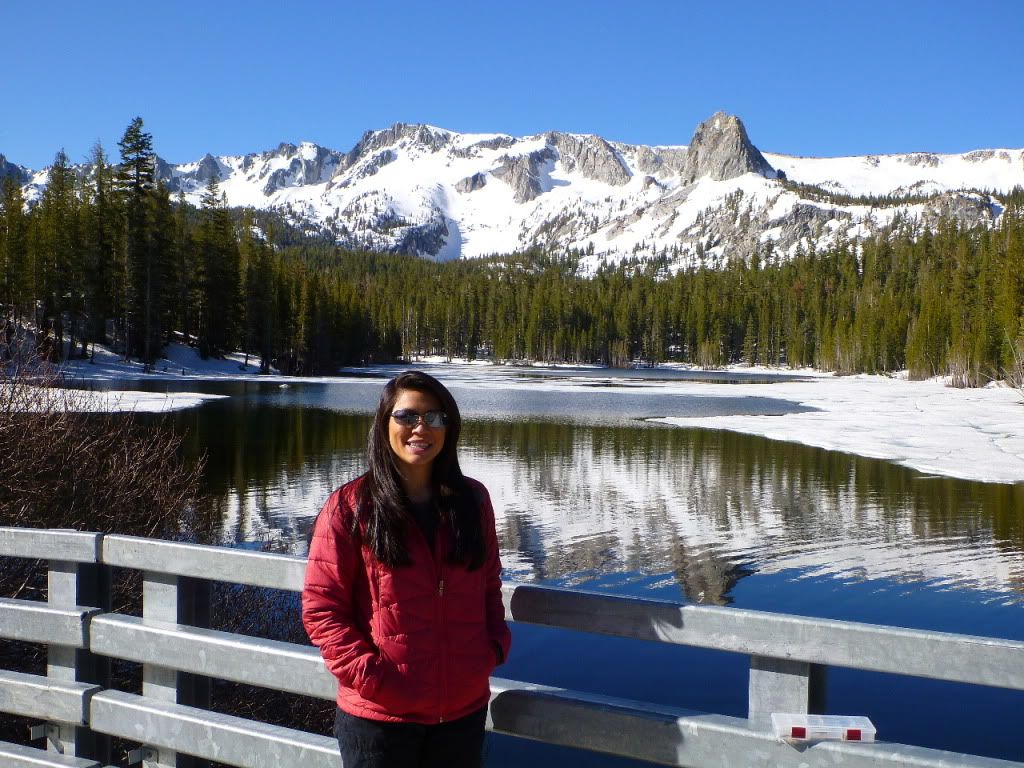
Kathy next to Lake Mammie
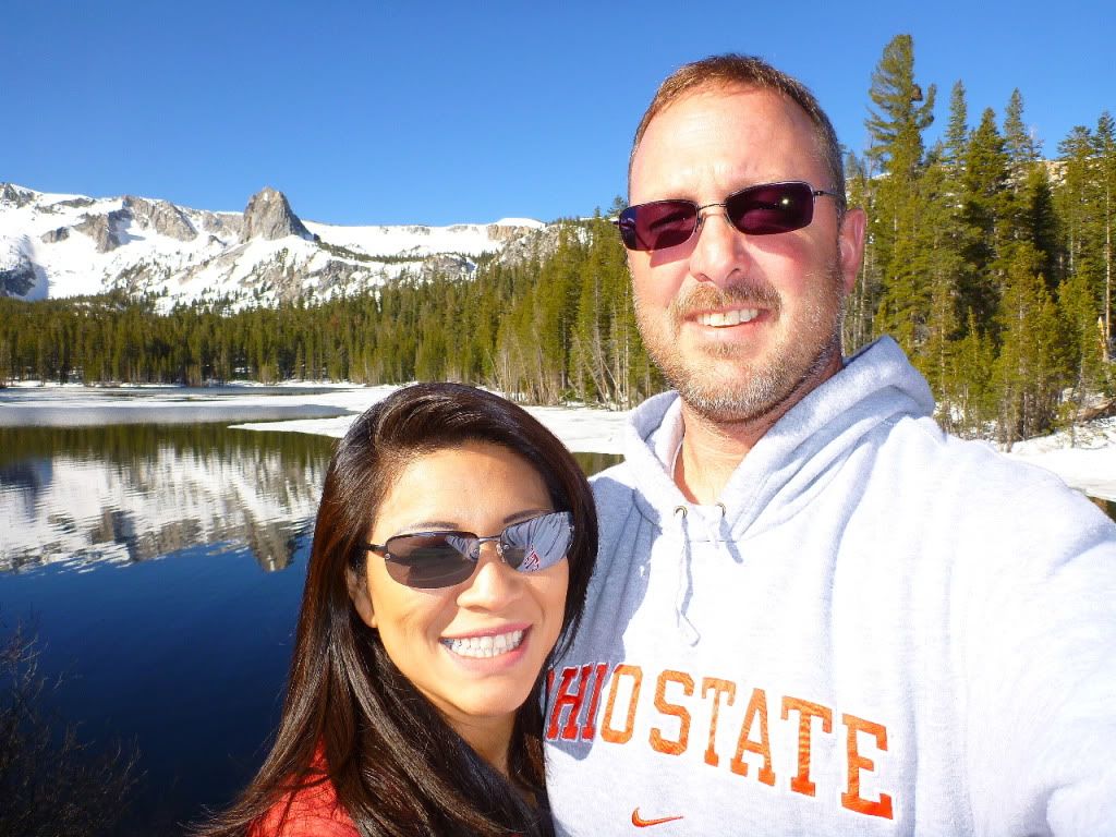
Kathy and some crazy guy she found on the side of the road
Oh, if you're wondering about all those trailers in the pics. They were a Black Powder gun club that goes there every June. We have never seen anyone in there in the past and neither have they. We should have the whole place to ourselves!
After a long hard day of fighting off bears and pissed off cows Kathy and I found an awesome campsite in the pines with room for more than 20 large rigs and easy access. There are no bumper dragging dips or any off-camber hilly crazy stuff to worry about.The area we found is about 3/4 miles southwest of Big Spring campground. So we will still be close to the river and have great access to the trails.
The new directions are as follows-----
1. From the 395 Turn East onto Owens River Rd
2. Go 2.4 miles and turn Right onto Forest Rd 2S85
3. Stay on 2S85 for 1 mile and you will see camp on your right.
Now that was easy!!
Notes.....
As your driving down Owens River Rd about 1.5 miles in, you will start to go down a small grade SLOW WAY DOWN cause Big Spring Rd will quickly come up on your left and then 1/2 mile after Big Spring Rd you will be turning Right onto 2S85.
The GPS for the intersection of Owens River Rd and 2S85 is....
37 44' 58.37 N
118 55' 55.96 W
And then the GPS for the campsite on the 2S85 is.....
37 44' 31.10 N
118 56' 53.47 W
Also if you need to fill up fresh water, just to the South of Owens River Rd on the 395 there is a Rest Stop that is very large and has 3 water fill-up points. 2 by the buildings on the northside of the lot and one on the southside of the lot.
Also I will place large Orange traffic cones at the intersection of Owens River Rd and Forest Rd 2S85 just so ya know your at the right place
One more quick note....
The right turn onto 2S85 is not a U turn but close. This won't be a problem for trailers and 5er's but a large MoHo with a trailer may take a back up or two. If you feel it is a bit tight of a turn for ya, you can continue down Owens River Rd for 1/2 mile and turn around at intersection head back to the West and pull straight in
Well here are a bunch of pics, and I know I am probably forgetting something but I know you guys will remind me. I'll post up the fuel info after dinner
Comming up on 2S85 on right
View of right turn onto 2S85
Head on down the road
Stay straight on 2S85 (It is old asphalt most of the way)
Keep going!
And going!
Getting closer!
Almost!
Finally
Here is a map overview of the area.
Rest Stop
Water
Bring your skis and snow boards, there is still 8' of snow
Twin Lakes is thawed out
Lake Mary still has ice on it
Waterfall above Twin Lakes
Kathy next to Lake Mammie
Kathy and some crazy guy she found on the side of the road
Oh, if you're wondering about all those trailers in the pics. They were a Black Powder gun club that goes there every June. We have never seen anyone in there in the past and neither have they. We should have the whole place to ourselves!
Last edited: